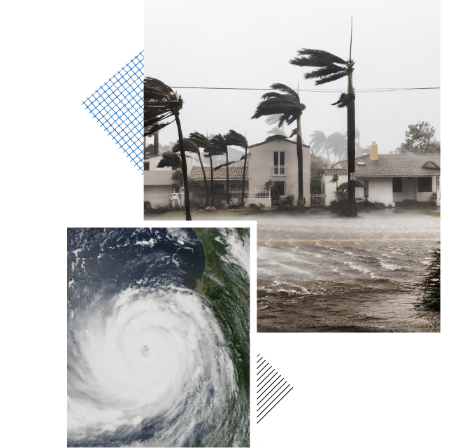
Global climate change is resulting in more frequent and severe hurricanes. High winds, heavy rains and coastal flooding present significant risk to those living in hurricane prone areas. Evacuations are typically ordered in advance of the hurricane making landfall to move people out of areas predicted to be significantly impacted by the hurricane and flooding. These evacuations typically span one to two days and can involve the movement of hundreds of thousands of vehicles. Traffic congestion is significant during these evacuations resulting in slow travel speeds and long travel times.
KLD uses the DYNEV model to simulate traffic flow during hurricane evacuations. DYNEV outputs indicate how long it will take to evacuate the area at risk and the levels of congestion on the roadway system during the evacuation. KLD’s proprietary EVAN (Evacuation Animator) software is used to display congestion levels during the evacuation (output by DYNEV) to identify bottlenecks and imbalances in traffic volumes on evacuation routes. DYNEV is then used to test different evacuation strategies (e.g., contraflow, manual traffic control) to see if they are beneficial. EVAN is especially useful in displaying traffic congestion levels side-by-side to visually see if the evacuation strategies improve traffic flow.
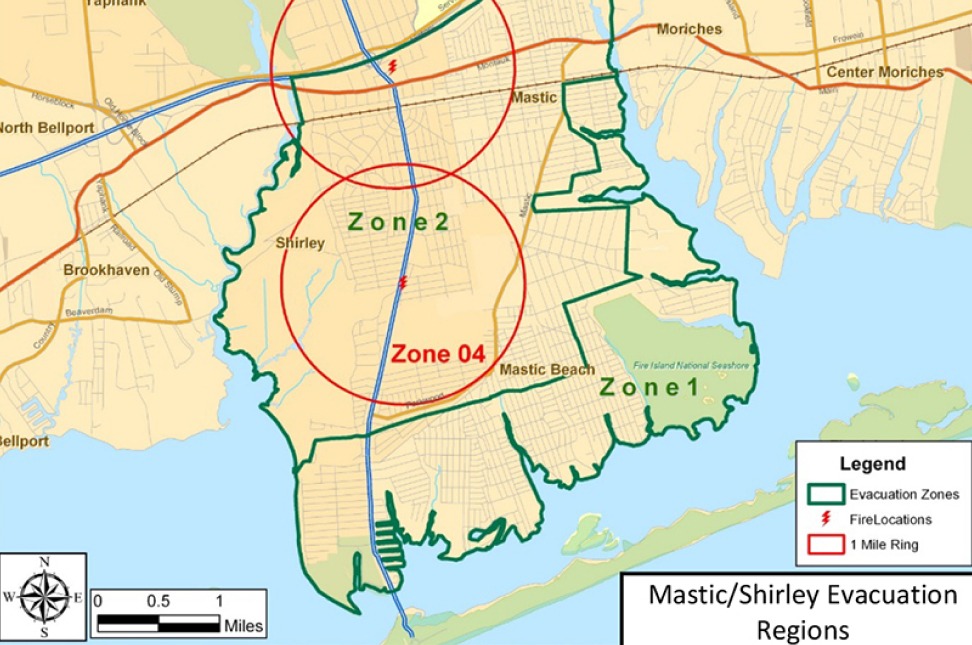
KLD has done hurricane evacuation studies for the Shirley-Mastic peninsula (New York) and for Suffolk County (New York). The results of these were used by emergency planners to improve hurricane evacuation plans.


Mastic/Shirley Peninsula Evacuation Study
KLD was a major subcontractor to GPI on a study to develop evacuation plans in response to hurricanes and to other types...
- APRIL 19, 2019
