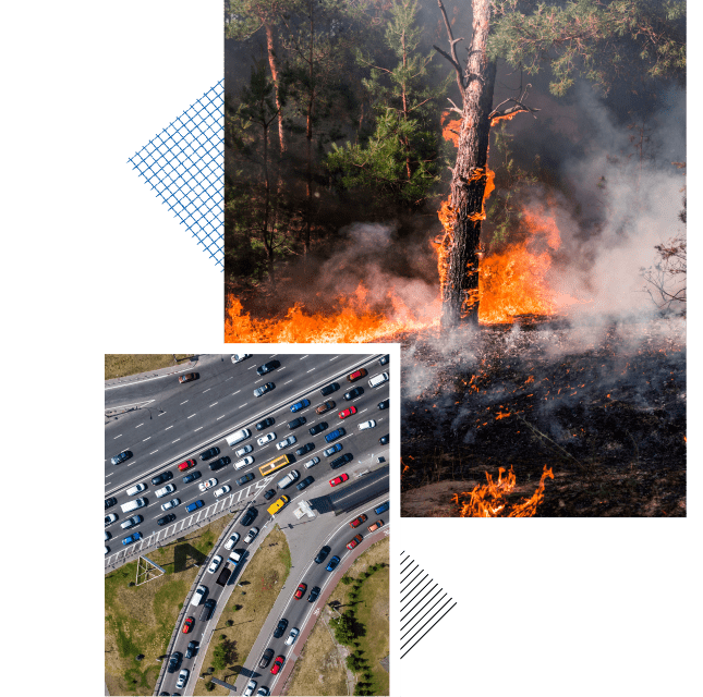
Climate change – increased temperatures, drought, unusually low humidity, and increased winds – is resulting in more frequent and more severe wildfires. The tragic Camp Fire in Paradise, California in 2018 and the wildfire in Lahaina, Hawaii in 2023 underscore the danger and devastation of wildfires.
One effective method to protect the health and safety of the public in a wildfire is to evacuate those communities at risk. Unfortunately, many of these communities do not know how long it would take to evacuate the community, which results in emergency planners not knowing when to order an evacuation.
The evacuation and emergency planning specialists at KLD, using their proprietary DYNEV evacuation simulation software, can simulate an emergency evacuation to determine how long it would take to evacuate an individual community, clusters of communities, or portions of a community. These simulations can also consider temporal variations – season, time of day, day of the week, and/or weather – which could impact the number of people in the area at risk and the activities undertaken by those people. The evacuation time estimates (ETE) computed using DYNEV can be used by emergency planners to set trigger points for when an evacuation should be ordered. For example, if the ETE for a community is four hours, emergency planners should order an evacuation immediately if a fire starts within four hours (as predicted by fire spread models) of that community.

The DYNEV software can also be used to study various sensitivity or “what if” scenarios. If each household evacuates in a single vehicle (carpooling), what impact would that have on ETE? If police officers or emergency workers are positioned at critical intersections to control and guide traffic, what impact would that have on ETE? If fire roads are used for evacuating traffic, what impact would that have on ETE? Etc. The results of these studies are used by emergency planners to construct an effective wildfire emergency plan that best protects the public.
KLD has done wildfire evacuation studies for the following communities:
- Ashland, Oregon
- Berkeley, California
- Laguna Beach, California
- Oakmont (Santa Rosa), California
- Sammamish, Washington
- Santa Barbara County, California
- Santa Cruz County, California
- South Morro Hills (Oceanside), California
- Ocean Hills (Oceanside), California
KLD has also helped several communities to comply with:
- California Senate Bill 99 – identify any residential developments in any hazard area that does not have at least two emergency evacuation routes.
- California Assembly Bill 747 – identify and analyze evacuation routes under a range of emergency scenarios.
- California Assembly Bill 1409 – revise the safety element of the local hazard mitigation not less than once every eight years to identify new information relating to fire hazards that was not available during the previous revision.

Lorem ipsum dolor sit amet, consectetur adipiscing elit
Sed ut perspiciatis unde omnis iste natus error sit voluptatem accusantium doloremque laudantium, totam rem...
- APRIL 19, 2019
