Evacuation & Emergency Planning Natural and human-made disasters are occurring more frequently 0{{current_slide_index}} /0{{total_slide_count}} Evacuation & Emergency Planning How do we protect public health and safety in the face of these disasters? 0{{current_slide_index}} /0{{total_slide_count}} Evacuation & Emergency Planning KLD uses proprietary evacuation modeling software to determine how long it will take to evacuate areas at risk during disasters. 0{{current_slide_index}} /0{{total_slide_count}} Evacuation & Emergency Planning These evacuation models can be used to test what-if scenarios (police controlling intersections, contraflow, carpooling) and determine how to reduce evacuation time. 0{{current_slide_index}} /0{{total_slide_count}} Evacuation & Emergency Planning The results of these evacuation studies are used to build robust emergency plans to protect public health and safety. 0{{current_slide_index}} /0{{total_slide_count}} Examples About Features
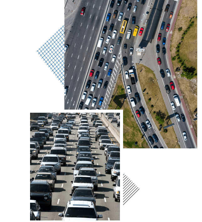
Human-made disasters (nuclear power plant accidents, acts of terrorism, chemical explosions, etc.) and natural disasters (wildfires, hurricanes, earthquakes, coastal flooding, etc.) often require evacuation to protect public health and safety. These evacuations can be especially taxing on the roadway system as all the people in an area at risk try to leave in a relatively short time frame. This often leads to pronounced traffic congestion, extensive delays, and slow travel speeds.
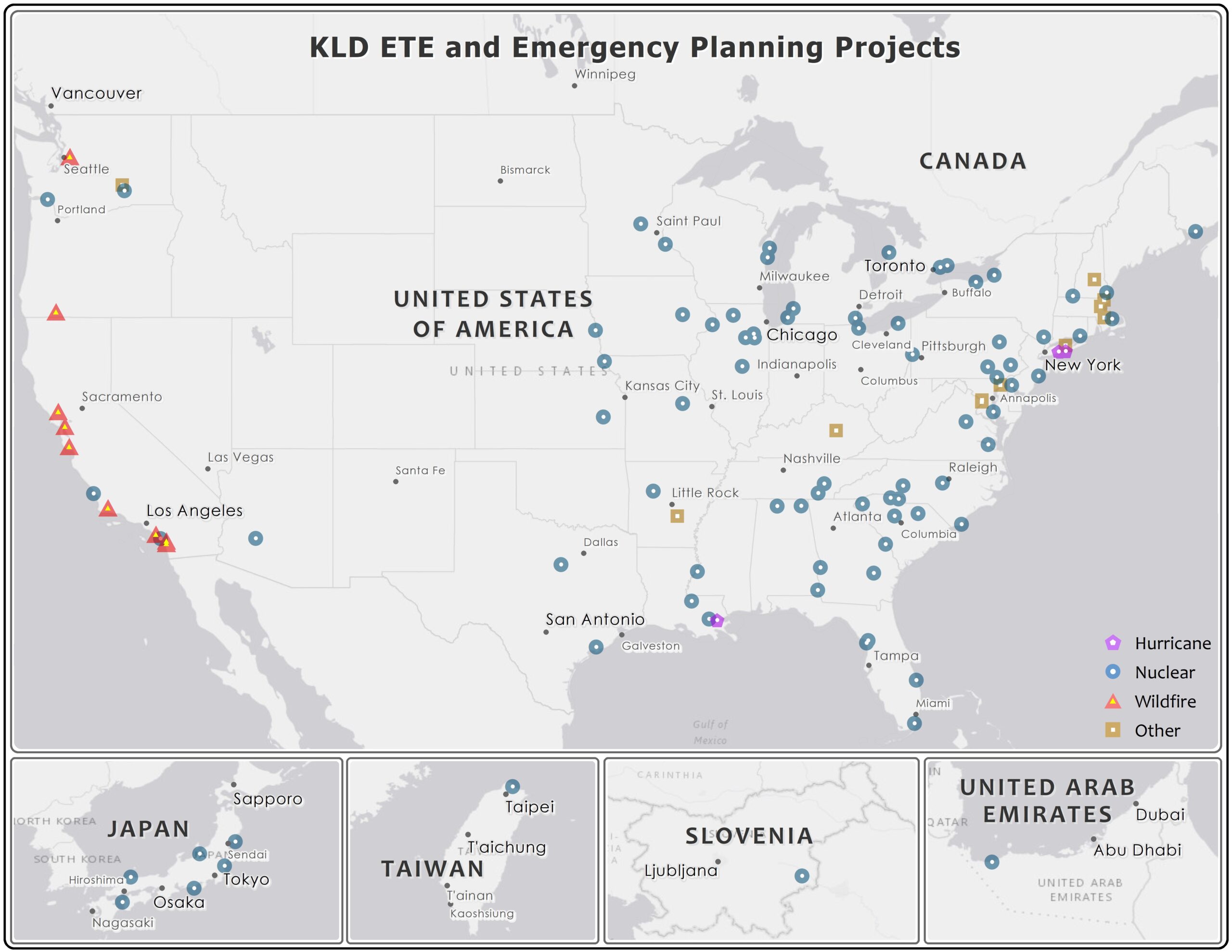
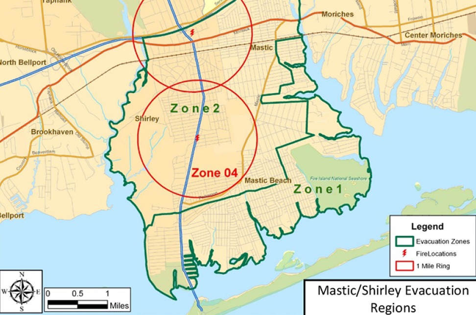
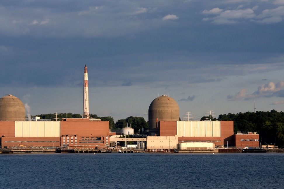
KLD built an evacuation simulation model designated DYNEV (Dynamic Evacuation Model) under contract to the U.S. Federal Emergency Management Agency (FEMA) in the early 1980’s. The model has been continuously refined since its inception to account for changing technology and traffic flow improvements. The model has twice been independently validated by the federal government as producing results that comport with actual traffic flow observations. DYNEV has been used by KLD for various disasters to compute evacuation time estimates (ETE – the time needed to evacuate the area at risk), identify optimal evacuation routing, and identify bottlenecks and chokepoints during an evacuation. Sensitivity studies or “what if” scenarios can easily be simulated with DYNEV to test the impact of various evacuation treatments – contraflow, police performing traffic control at critical intersections, carpooling, etc. The results of KLD’s evacuation studies are used by emergency planners to enhance their emergency plans and make optimal use of their available personnel and equipment for an evacuation.